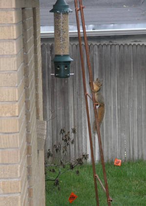
 Just before departure...a wily squirrel in my back yard!
 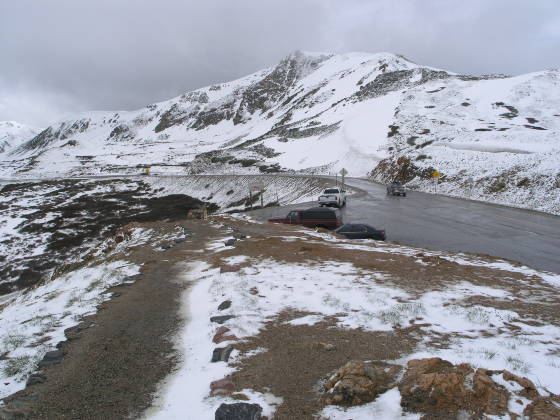 The trailhead: the top of Loveland Pass
  Drifted snow and a heavy overcast...
  Looking down towards A-Basin Ski Area (far right)
  A nice panoram from Lonny around 13,000 ft at the Divide
  Taking a break from 40 mph winds in a rock shelter on a ridge
  Torreys and Grays Peak in the distance
  The rock shelter on the ridge (~13,000 ft)
  A view eastward down the valley (you can see I-70)
  The storm moves in from the west
  A view down towards I-70 and the Eisenhower Tunnel
  As close as we get to Mt. Sniktau (on the left)
 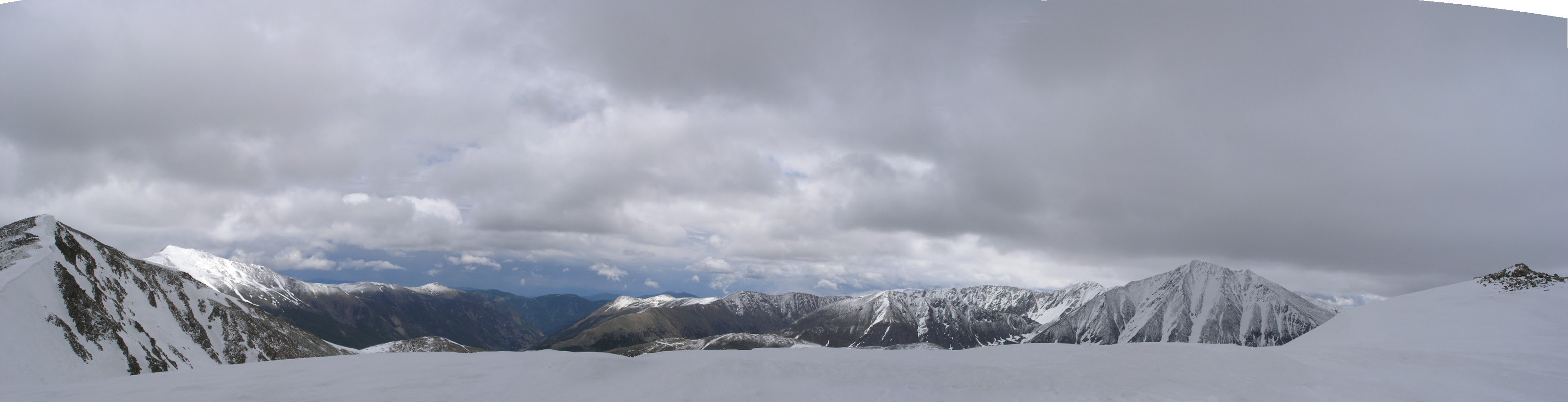 Panorama with Sniktau (left) and Torreys (right)
  The storm begins to enroach us from the northwest
  Treking back towards the shelter as the storm moves in
  The storm enveloping the divide
 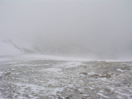 Blinding winds (80mph?) and snow
  Brian finally making it to the shelter to wait out the storm
  Finally out of the wind
  The storm stuck on the southern side of Lovland Pass
  We've now waited 30 minutes for a break...none yet
  Visibility picked up a bit, but still not much to go by...
  Snow building up on us, but blue sky is finally visible!
 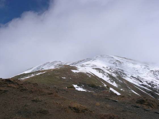 Looking back up at the ridge we sat on for an hour
  Finally back at the car!
 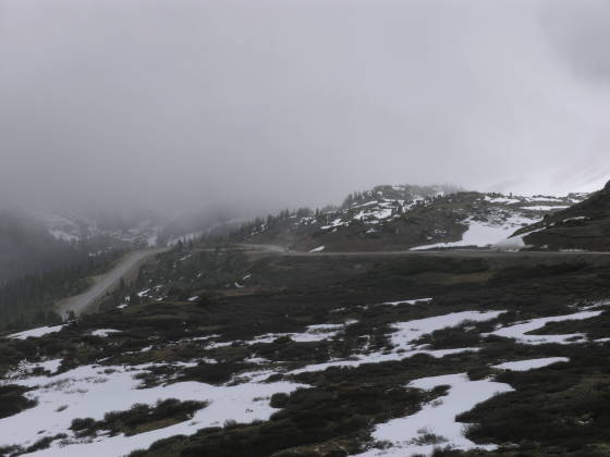 Look back at A-Basin again...another storm is moving in


