Trip Report Not Yet Available - maps and GPX files can be found below.
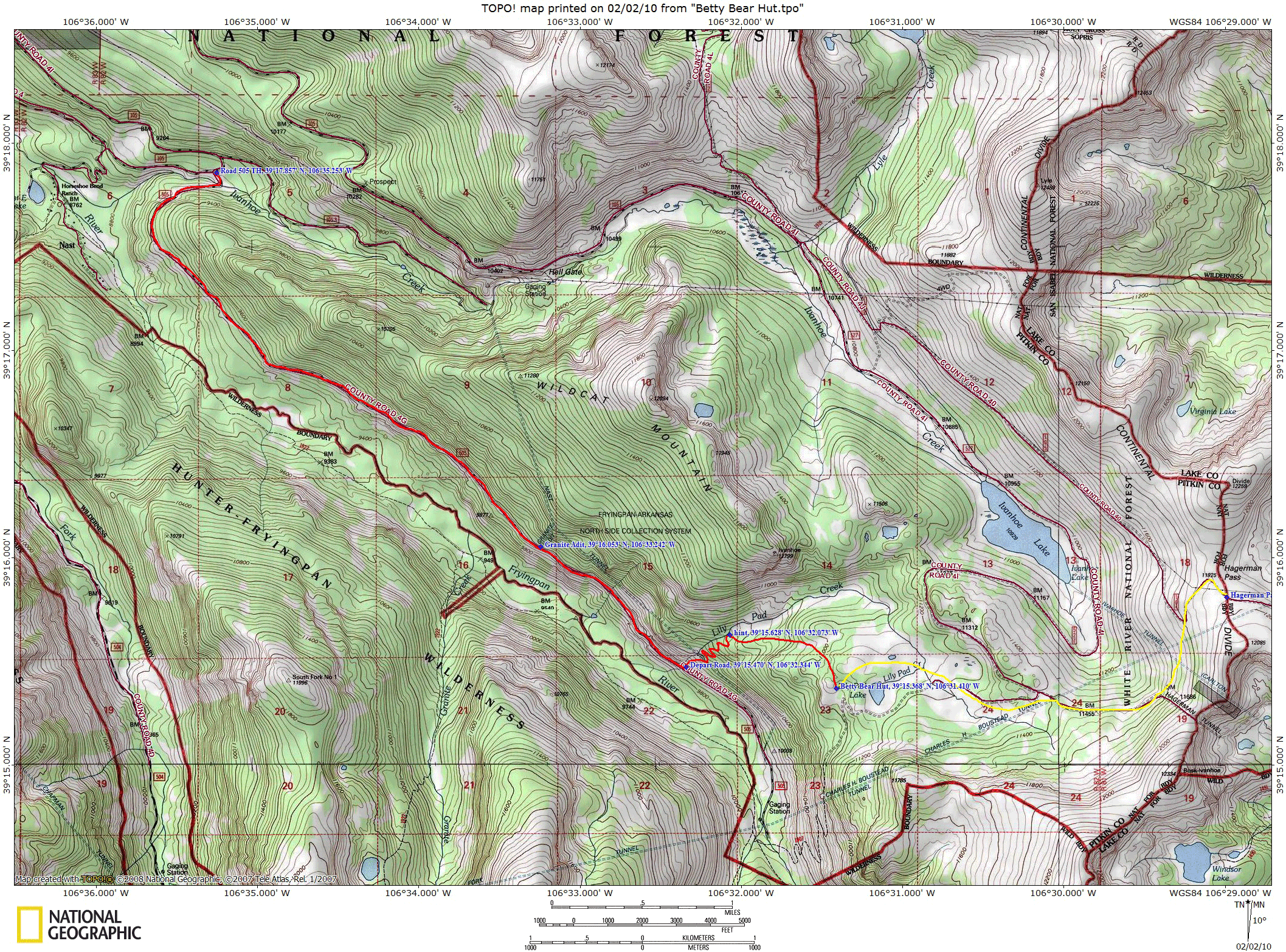
3/13/2010Betty Bear Hut Date Hiked:3/13/2010Location:Between Basalt and LeadvilleRange:SawatchTrailhead:Road 505 TrailheadDistance:6.2 milesAltitude:2,304 ft up, 342 ft down (1,962 ft gained in total)Duration:6 hours, 10 minutes ski up, 2 hours ski downCoordinates:39.256N, 106.523WLast Updated:3/13/2010Trip Report Not Yet Available - maps and GPX files can be found below.Maps and GPS DataGPX Waypoint File Google Earth KMZ File PNG Topo Map Share on Facebook Share on X Share on Pinterest Share on Bluesky Buy me a coffee